In the intricate world of civil engineering, having the right tools to enhance and improve existing platforms is paramount. For Australian civil engineers, this doesn’t necessarily mean starting anew but instead building upon your trusted tools. Civil Site Design supercharges your trusted AutoCAD or Civil 3D subscription to improve your civil engineering design efficiency, adding the following functionality and benefits:
Live Vertical Design & Editing:
Embedded within your familiar AutoCAD or Civil 3D environment, Civil Site Design introduces real-time vertical design and editing. It offers engineers the ability to visualise design changes as they are made, thereby streamlining workflow and ensuring accuracy.
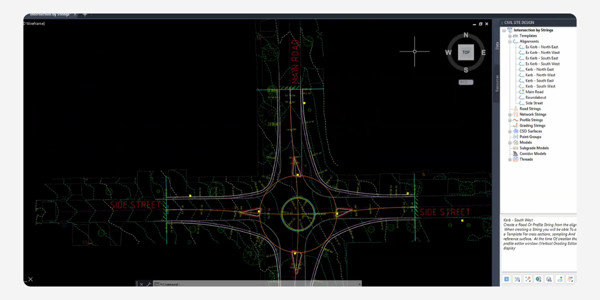
Fast Network Strings – Kerb Returns, Cul-de-sacs, Knuckles and Roundabouts:
Designing road subdivisions? The software, working seamlessly within your existing platform, uses intelligent objects like kerb returns and cul-de-sacs to make automation of common road design elements both efficient and swift.
Model Viewer:
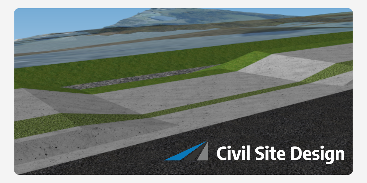
Visualise your design in a fully rendered 3D interface, updating as you make changes, ensuring you get a complete understanding of how your design operates in the context of the existing conditions.
Subgrade Modelling:
Your subgrade is the foundation of your construction. The addition of the Subgrade Model Manager allows for surface modelling of any pavement layer, delivering a complete assessment of your earthworks and material volume requirements.
Civil 3D Output (Profiles, Profile Views & Corridors):
Designed to work hand-in-glove with Civil 3D, Civil Site Design creates Surfaces, Alignments, Profiles, Profile Views, Feature Lines and Corridors for your design models, ready for publication and inclusion in BIM workflows.
Deep Dive: The Enhanced Capabilities of Civil Site Design
Civil Site Design is an enhancement for Autodesk Civil 3D® or AutoCAD®, built to run inside your drawing environment. Developed and supported in Australia, it’s specifically tailored for your roads and civil engineering needs.
Unified Design & Drafting:
Continue working within your trusted CAD environment but with added capabilities that improve your productivity. Whether it’s stormwater designs, road networks, or sewer systems, Civil Site Design brings additional tools and features to your fingertips.
Excellence in Road Design:
Road design takes a leap forward with Civil Site Design’s integration. Experience automatic updates in drafting with every edit, a dynamic view of your 3D model, and click button output of Long Sections, Cross Sections and point setouts.
Pipe and Sewer Design Enhancement:
Leverage the software’s vertical design windows to simplify pipe branch designs. Stormwater professionals can now enjoy enhanced capabilities like automated pipe sizing and easy design exchange with Watercom DRAINS.
Points, Surfaces, and Alignments:
With enhanced tools for COGO points, surface modelling, and alignment design, Civil Site Design ensures your drafting and design process is more efficient without the learning curve of a new platform.
Precision in Site Grading:
Designed for accuracy and speed, site grading tools are easy to edit (just grip edit your polyline) and include automatic corner cleanup, making them perfect for features like building pads or retaining walls.
In essence, Civil Site Design isn’t about reinventing the wheel. It’s about making it run smoother, faster, and more efficiently. For Australia’s civil engineers a valuable extension that propels them into the future of infrastructure design.
For more information on Civil Site Design visit civilsitedesign.com.au
About The Author

We are the leading provider of civil engineering and survey software solutions and services in Australia.