With Autodesk’s new 2025 releases of their software range, join us in this free webinar as we explore what’s new across 4 popular products, AutoCAD, Map 3D, Civil 3D and Infraworks.
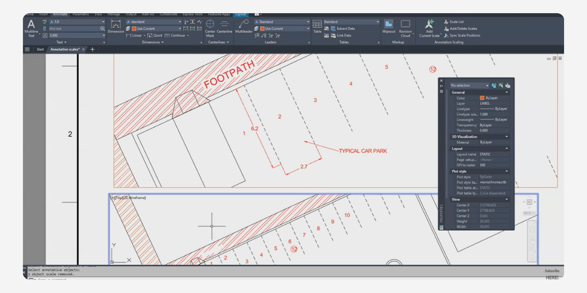
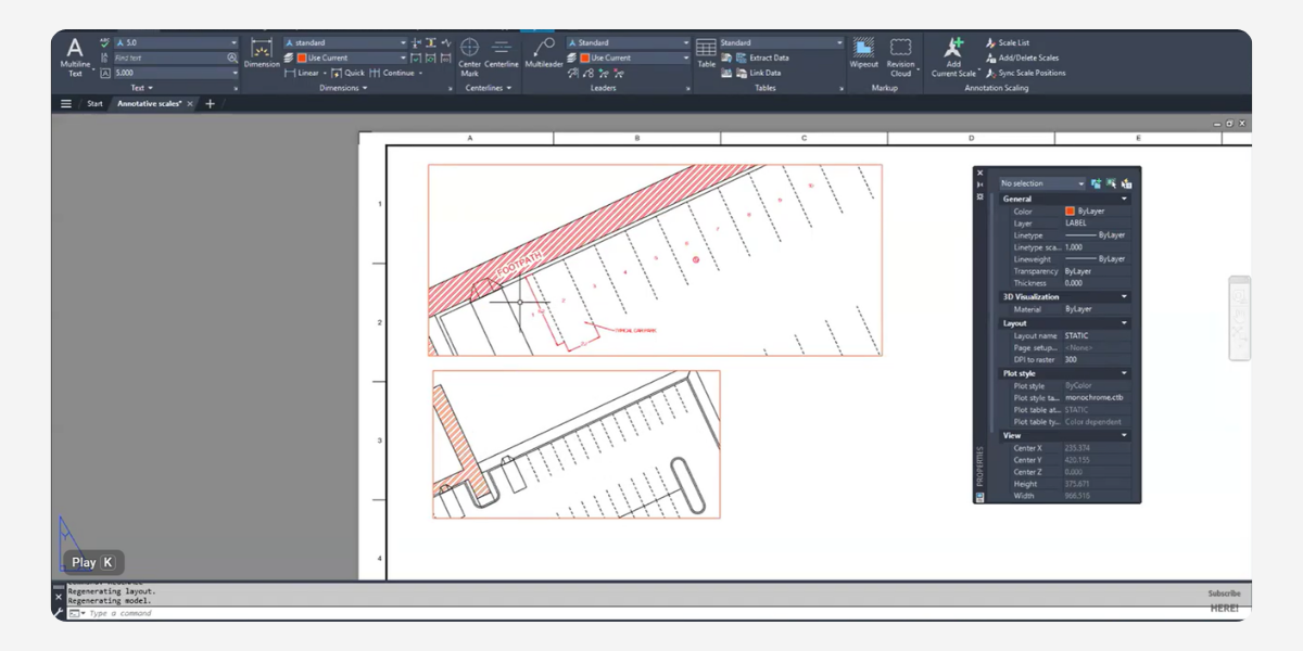
In this webcast we will look at the new boundary-less hatching, updates to the Trace tool and three ways AI is being used in AutoCAD 2025. We will also show updates to coordinate systems and the Workflow tool in Map 3D as well as the improvements in Civil 3D to Corridor and Surface workflows. Finally we will touch on the changes to tunnels and bridge structures in Infraworks.
This webinar will be presented by Rachael Murray BE(Civ)(Hons) & Todd Brewster BE(Civ)(Hons).
Date: Thursday 13th June
Time: 2pm AEST
Register Here
About The Author

Civil Survey Solutions
We are the leading provider of civil engineering and survey software solutions and services in Australia.