Date: Thursday 11th April 2024
Time: 2-3.30pm (AUST Eastern Daylight Time)
Duration: 90 minutes
With reality capture technologies and outputs fast becoming a deliverable for Architecture, Engineering and Construction projects, surveyors and engineers are needing to understand how to create, utilise and manage point clouds.
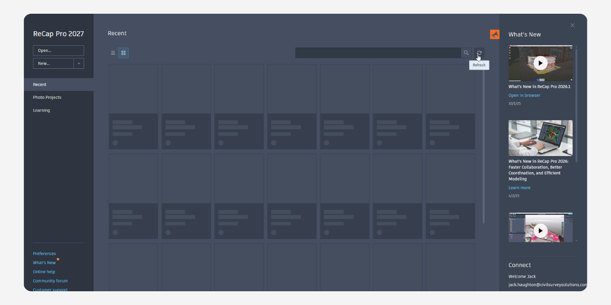
Attend this free webinar to learn how reality data can be managed with Autodesk Recap and utilised in your current Civil 3D, Revit, and Infraworks projects.
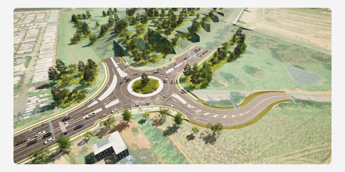
This concise session will delve deep into processes and techniques to help transform laser-scanned data into precise 3D models. It’s tailored specifically for those looking to enhance their expertise, stay abreast of industry standards, and leverage the latest in technology to streamline project workflows.
This webinar represents an excellent opportunity for professionals to refine their skills in point cloud management, ensuring their projects not only meet modern surveying and design expectations.
About The Author

We are the leading provider of civil engineering and survey software solutions and services in Australia.