What is Stringer Topo?
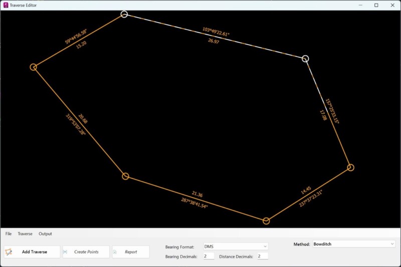
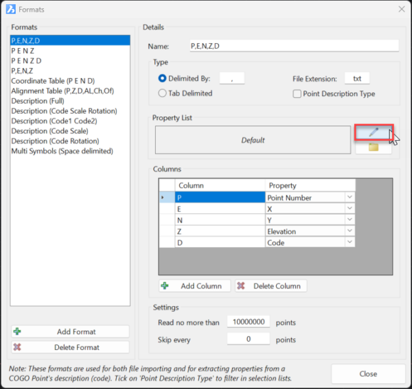
Stringer Topo is built to maximise your efficiency in taking field survey data into your CAD application, processing COGO points, generating breaklines and linework directly from your points and delivering a TIN surface. Stringer Topo also delivers functionality for survey conformance reports, surface analysis, traverse adjustments, and more.
Why use Stringer Topo?
Stringer Topo delivers fast, easy to use survey tools for creating topographical surveys in your drawing, ready for final documentation and plotting. Associated functionality includes survey quality (comparison) reporting, point export, import/export to numerous formats, traverse editing and drafting for cadastral plans.


