With Autodesk’s new 2025 releases of their software range, we explore what’s new across 4 popular products: AutoCAD, Map 3D, Civil 3D and Infraworks. This webinar was presented by Rachael Murray, a qualified civil engineer who has worked in local government and the private sector.
This webinar covers numerous new features in the 2025 releases including:
In AutoCAD (0:16):
- New boundary-less hatching
- Updates to the Trace tool
- Three AI driven improvements
In Map 3D (12:30):
- Updates to coordinate systems and the Workflow tool
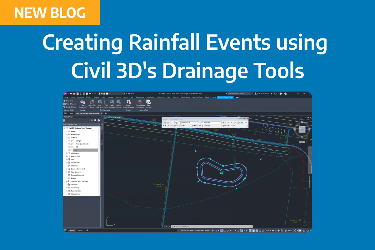
In Civil 3D (14:05):
- Surface and Corridor workflow improvements
- Dynamo improvements In Infraworks
- Tunnel and bridge improvements
In Infraworks (21:55):
- Changes to tunnels and bridge structures
About The Author

Civil Survey Solutions
We are the leading provider of civil engineering and survey software solutions and services in Australia.