Civil Survey Applications Showcases the Future of Road Design at IPWEA QLD & NT Conference
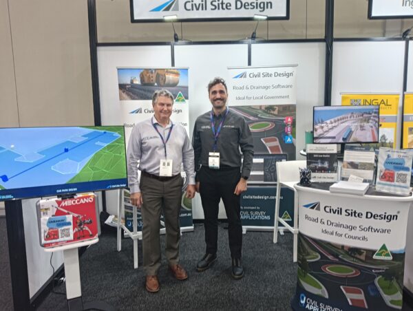
The Civil Survey Applications team recently attended the IPWEA QLD & NT Conference on the Gold Coast, proudly representing Civil Site Design, their Australian-made civil engineering software. The event brought together industry leaders, engineers, and local government representatives to discuss innovation and efficiency in infrastructure delivery, and Civil Site Design was right at the centre of those conversations.
Setting the Stage: The Future of Road Design Workshop
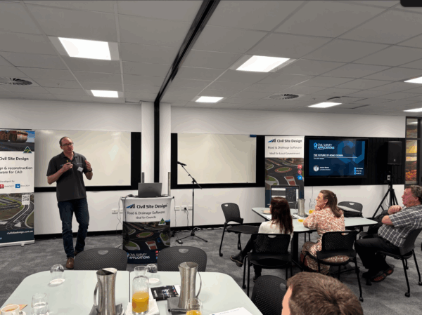
Before the main conference began, the team hosted an exclusive “Future of Road Design” workshop, welcoming councils and engineers from across Australia. The session provided an in-depth look at how Civil Site Design continues to redefine civil engineering workflows through AI-driven automation, enhanced visual design tools, and superior output control.
Led by Andrew Banson, the workshop explored upcoming Civil Site Design features, including a demonstration of IFC 4.3 integration, showing how road models can seamlessly transition into open data environments for greater interoperability.
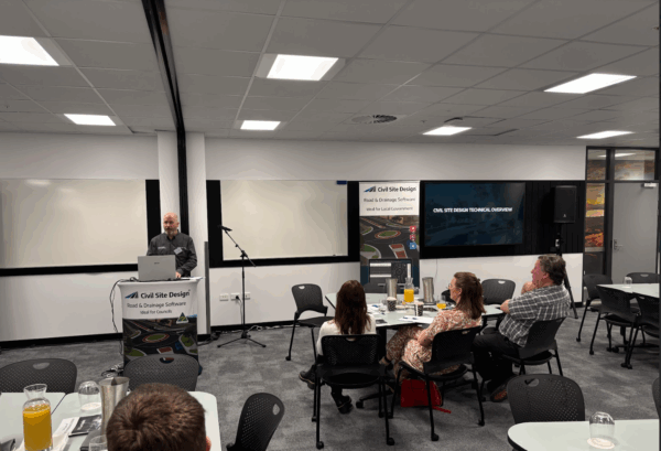
Attendees also heard from John McIntosh of Tweed Shire Council, who shared valuable insights from their long-term use of Civil Site Design within Autodesk Civil 3D. His presentation highlighted how the software has streamlined road and drainage design processes, improved documentation efficiency, and enhanced coordination across teams.
Innovation with Purpose: Smarter Tools for Australian Engineers
Civil Survey Applications mission is to help Australian engineers work smarter, not harder. Civil Site Design achieves this by combining intelligent automation with intuitive design tools that integrate directly with familiar platforms like Civil 3D and AutoCAD.
The workshop demonstrated new AI-powered features that assist with road reconstruction and design tasks, significantly reducing manual editing and increasing accuracy. With built-in design templates, engineers can accelerate project delivery while maintaining compliance with local standards and design principles.
These tools are already helping more than 120 councils across Australia to deliver better outcomes, whether for road design, subdivision planning, earthworks, drainage, or stormwater management.
From Vision to Reality: Connecting Innovation and Practice
The event’s success underscored the strong collaboration between software developers, local councils, and industry professionals. By combining advanced design technology with real-world feedback, Civil Site Design continues to evolve in step with the needs of Australian infrastructure.
Participants left the session with a clear sense of how Civil Site Design’s latest innovations, including parametric modelling, enhanced visualisation, and AI-assisted automation, can improve both productivity and design quality.
As one attendee noted, “It’s not just about drawing faster, it’s about designing smarter.”
Looking Ahead
Civil Survey Applications remains committed to supporting the civil engineering community with innovative tools, local expertise, and responsive support. The IPWEA conference and their pre-event workshop highlighted just how far the industry has come, and where it’s heading next.
If you missed the event, keep an eye out for upcoming Civil Site Design breakfast sessions and workshops around Australia, where they’ll continue to showcase the next generation of civil engineering design technology.
About Civil Site Design
Civil Site Design is Australian-made software designed for the efficient design and documentation of roads, subdivisions, earthworks, drainage, and stormwater projects. It integrates seamlessly with Civil 3D and AutoCAD, helping engineers design faster, collaborate better, and deliver superior results.
About The Author

We are the leading provider of civil engineering and survey software solutions and services in Australia.